Page Content
- Classification
- Region
- Group
- Latest events
- Taxa, synonyms
- Bibliography
- Figures
Oxathres apicofuscata
Oxathres apicofuscata is the scientific name of a group -also called lamiines or flat-faced longhorned beetles-
Oxathres apicofuscata Bezark & Santos-Silva, 2025
Bezark, L.G. & Santos-Silva, A. are the authors of the original taxon.
The type specimen used for original description is cited from Belize.
Oxathres apicofuscata Bezark & Santos-Silva, 2025 is the full name of the group-species in the taxonomic classification system.
The species is combined with the genus Oxathres ranked in the tribe Acanthocinini.
Classification
| kingdom | |
| Animalia | |
| ~1,200,000 sp. | |
| phylum | |
| Arthropoda | |
| ~1,000,000 sp. | |
| class | |
| Insecta | |
| ~830,000 sp. | |
| order | |
| Coleoptera | |
| ~350,000 sp. | |
| family | |
| Cerambycidae | |
| ~35,000 sp. | |
| subfamily | |
| Lamiinae | |
| 22,054 sp/ssp. | |
| tribe | |
| Acanthocinini | |
| 2,257 sp/ssp. | |
| genus | |
| Oxathres | |
| 18 sp. | |
| species | |
| apicofuscata | |
Region
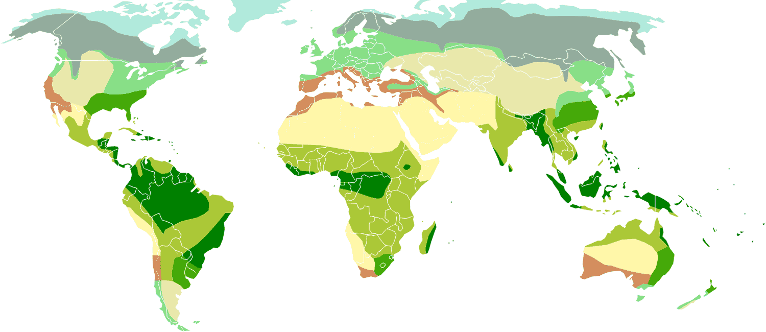
World [1]

Distribution for Oxathres apicofuscata
Group
apicofuscata [1]
Subgroup of
Latest events
-
2025 • Oxathres apicofuscata n. sp. • cf. Bezark, L.G. & Santos-Silva, A.
Taxa, synonyms
1 taxon refers to Oxathres apicofuscata
-
Oxathres apicofuscata Bezark & Santos-Silva, 2025 [ type locality : Belize, Cayo District, Las Cuevas Field Stat [Las Cuevas Research Station], 15 km E Caracol, 16.733°N 88.32.985°W ]
Bibliography
Some citations found in the bibliography excluding lists and catalogs except with nomenclatural act or image or data
-
Oxathres apicofuscata Bezark & Santos-Silva • The Pan-Pacif. Entomol. • 2025 • 101 (1) : 80, 84 [ nov loc ill div ]details
Oxathres apicofuscata Bezark & Santos-Silva • The Pan-Pacif. Entomol. • 2025 • 101 (1) : 80, 84
General information
- description ; distinctive characters
- color photo, holotype, ♀ ; ...
- new taxon/name
Distribution
- [locality type] Belize : Cayo District, Las Cuevas Field Stat [Las Cuevas Research Station], 15 km E Caracol, 16.733°N 88.32.985°W
Figures
Some references with images to see in bibliography
- Holotype ♀ of Oxathres apicofuscata Bezark & Santos-Silva, 2025 • see Bezark & Santos-Silva, 2025